Get To Know Powder River County
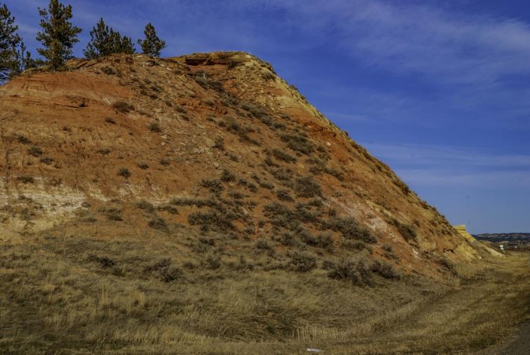
Should anyone tell you eastern Montana is flat, just send them to Powder River County in the southeastern portion of the state. Bordered by Bighorn and Rosebud Counties to the west, Carter County to the east, and Custer County to the north, Powder River County is a 3,300-square-mile rectangle that lies on the Wyoming border. With a 2020 U.S. Census count of 1,694 residents, the county is 48th of Montana’s 56 counties in population. With the exception of 1970, Powder River County has lost population every decade since 1930, when 3,909 folk lived in the county. That count placed it at number 46 in the state, but somehow the county ended up with 9 on its license plates.
Created on March 17th, 1919 with land taken from the southern end of Custer County, Powder River County was the last of seven counties created that year. Four more new counties would follow in 1920. The county takes its name from the Powder River which flows north out of central Wyoming to its confluence with the Yellowstone and does a good job of cutting the county in half. The river, by the way, got its name from the gunpowder gray sand on its banks. Early settlers said the river was “a mile wide and an inch deep.”
A Montana Historical Marker along U.S. Highway 212 notes that Pierre de la Verendrye was the first European to come through the area, back in 1743. Another Frenchman followed shortly after Lewis and Clark traveled the Yellowstone, but it wasn’t until the 1880s that ranching and settlement came to the region. Of course, the land wasn’t empty. Various groups of Sioux and Cheyenne hunted the land for generations. White exploration and subsequent settlement led to several skirmishes between the two different peoples.
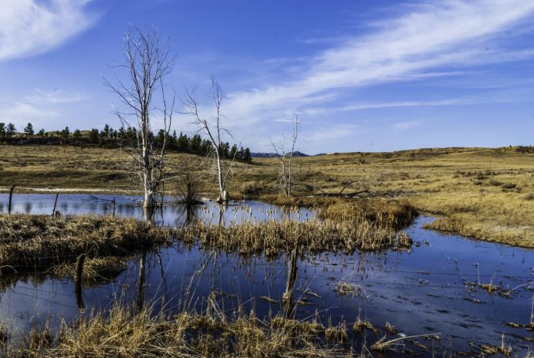
Photo by Bryan Spellman
March 17th, 1865 saw U.S. soldiers, under the direction of Colonel Joseph Jones Reynolds, attack a native village which Reynolds mistakenly believed to be Sioux. Rather it was a Northern Cheyenne village and the army destroyed it. They also took over 700 of the natives’ horses. This battle, now called the Battle of Powder River, helped to strengthen alliances between the Northern Cheyenne and the Sioux, which in turn led to Custer’s defeat at Little Bighorn. For his part, Reynolds was court martialed and stripped of his rank because he did not secure the site of the encampment and the Cheyenne were able to recapture most of their horses. The battlefield is near the present unincorporated town of Moorhead in southern Powder River County.
In the 1870s, the 9th U.S. Infantry built a telegraph repair station along the Powder River to serve the line that ran from Deadwood, South Dakota to Fort Keogh (today’s Miles City). In 1879, Cheyenne attacked two repair men, killing one, in the Mizpah Creek Incident. This was near present-day Powderville in the northeastern portion of the county.
The Indian wars did not end with Little Bighorn, and as late as 1897, Cheyenne men killed a white sheepherder and his dog. In response, the settlers sent their women and children to Miles City and Sheridan, Wyoming, and the menfolk built a fort for protection. The Cheyenne tribe turned over the men responsible, and no further Indian attack happened. Today, you can see the remains of Fort Howes near the junction of Otter Creek Road and Taylor Creek Road, in west central Powder River County.
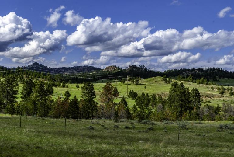
While you’re out enjoying the back roads of Montana, turn west from Fort Howes and drive through the Custer National Forest to Blacks Pond. The man-made pond is a favorite of bird watchers and has its own campground.
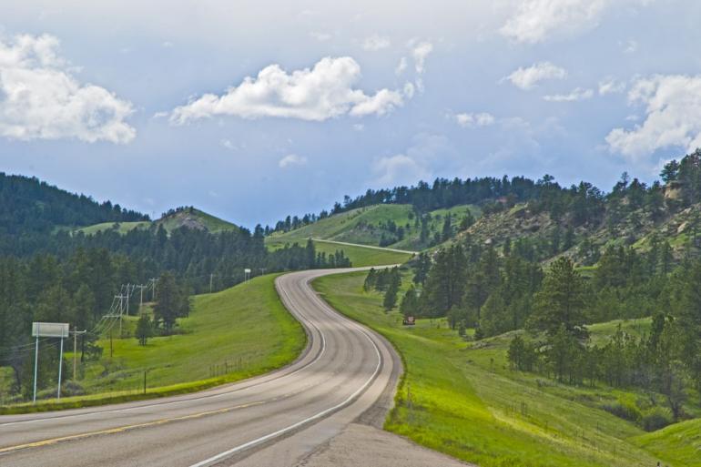
Photo by Bryan Spellman
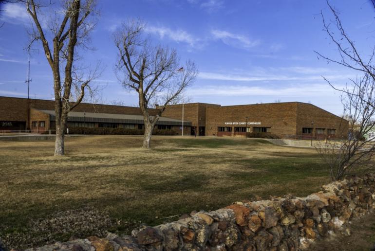
Today, two highways cross Powder River County. U.S. Highway 212 crosses the county east to west and serves as a shortcut from Interstate 90 at the Little Bighorn Battlefield to Belle Fouche, South Dakota, and eventually Rapid City. Montana Highway 59 crosses the county north to south, and runs from MT 200 near Jordan to Gillette, Wyoming. It is the main connection between Powder River County and what passes in these parts for city life. Where the two roads cross lies the Powder River seat, Broadus.
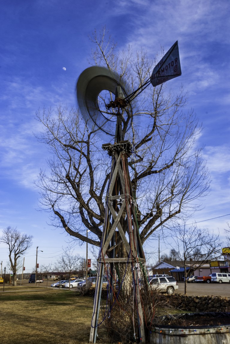
The Broadus Post Office was established in 1900 but a clerical error in Washington, D.C. misspelled the name. Oscar Broaddus came to the area in the mid-1880s as a cowhand. He built the first school and eventually sold his land to the Trautman family. With the creation of Powder River County, Mrs. Trautman donated 80 acres to serve as county seat. Today, Broadus is the only incorporated town in the county, with a 2020 population of 456.
Looking at the map, you’ll find many town names strewn across the county. Most of them are just that: names on the map. All have a history of high hopes, but today little more than a derelict building or two along the road. The exceptions are Biddle and Powderville.
Roughly five miles south of the county seat, on Montana Highway 59, you’ll find Biddle. The 2020 Census counted 48 people in Biddle proper, and 112 total served by the Biddle Post Office, zip code 59314, which covers 281 square miles and most of southeastern Powder River County. Biddle has an elementary school which serves 11 children in a single room, and, at least based on what I’ve found online, a store and gas station. I must admit I’ve never been to Biddle, Montana.
Sixty-two miles from Biddle, and 33 from Broadus is Powderville, in the northeastern corner of the county. Like so many other Powder River communities, Powderville had its own post office from 1885 to 1911. The town became a stage stop on the Deadwood (South Dakota) to Miles City line and had an establishment familiar to anyone who grew up watching TV Westerns—the main floor saloon with a hotel upstairs. History buffs are drawn to the community’s Boot Hill Cemetery, overseen by the Power River Historical Society.




- Reply
Permalink